October 26, 2026
Cowardin wetland classification system explained
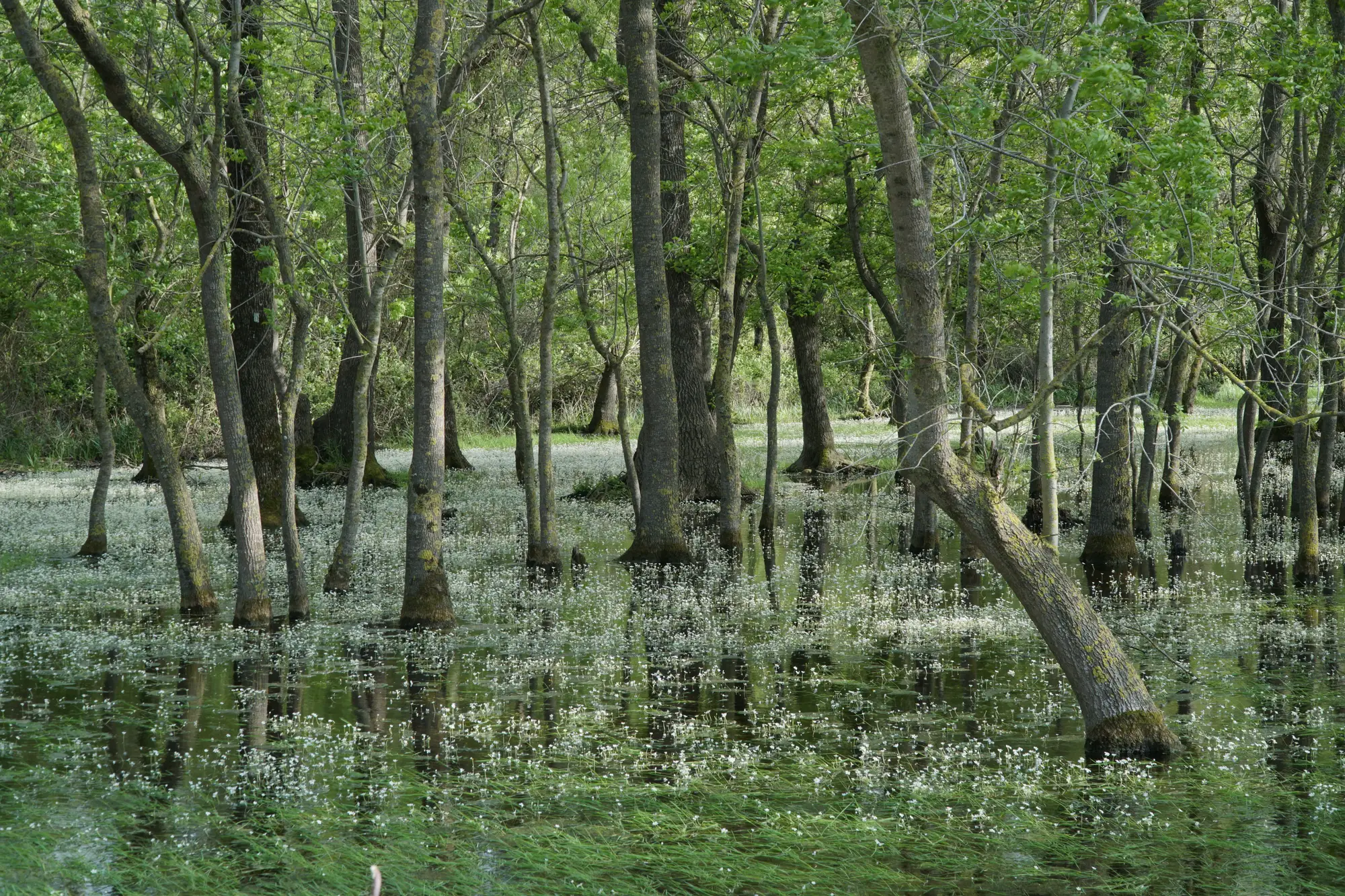
If you've pulled an NWI layer onto a permit map and squinted at a code like PFO1A or L2USC, you've already met the Cowardin system without necessarily knowing its name. Lewis Cowardin and his co-authors wrote the classification for the U.S. Fish and Wildlife Service back in 1979, and it's still the backbone of every National Wetlands Inventory map you'll pull for a jurisdictional review.
The system sorts wetlands and deepwater habitats into a hierarchy: system, subsystem, class, and then a water regime or chemistry modifier tacked on the end. Once you can read the string of letters and numbers, an NWI code tells you more about a site than most applicants' delineation reports do on first read.
The five systems, and why palustrine trips people up
Cowardin splits everything into five systems: Marine, Estuarine, Riverine, Lacustrine, and Palustrine. For inland permit work, the last two are where the real confusion lives.
Lacustrine covers lake-associated wetlands and deepwater habitats: situated in a topographic basin, generally over 20 acres or with an active wave-formed shoreline, and mostly lacking trees, shrubs, or persistent emergents over 30 percent cover. A fringe of pondweed around a reservoir edge is lacustrine.
Palustrine is the catch-all for everything else nontidal: marshes, wet meadows, scrub-shrub wetlands, forested swamps, and small ponds under 20 acres regardless of vegetation. Most of what shows up in a wetland delineation report for an upland development permit is palustrine. The line between the two systems often comes down to size and vegetation cover rather than anything a site visit makes obvious at a glance, which is exactly why applicants mislabel it on their own reports more often than you'd expect.
Reading the code on the map
Take PEM1C. P is the system (Palustrine), EM is the class (Emergent), 1 is the subclass (persistent), and C is the water regime modifier (seasonally flooded). Swap the class to PFO and you're looking at forested wetland; PSS is scrub-shrub; PUB is unconsolidated bottom, your open-water ponds.
The water regime letter matters as much as the class for permit purposes. A is temporarily flooded, C is seasonally flooded, F is semipermanently flooded, H is permanently flooded. An applicant arguing a feature is upland because it's dry on the day of inspection doesn't change what the regime code says about the typical year.
Chemistry and special modifiers show up too: an x for excavated, b for beaver-influenced, a lowercase h for diked or impounded. These aren't decoration. A beaver-influenced palustrine wetland can shift class entirely within a season if the dam fails, and the NWI polygon won't update to tell you that happened.
Where the Cowardin code and the ground stop agreeing
What matters for your permit file is this: NWI polygons are built from photo interpretation done once, sometimes decades ago, and they get revised on no fixed schedule. A PFO1A polygon from a 1986 survey can be standing dead timber and open marsh today after a beetle kill or a hydrology change upstream. The code is still accurate to the system that was photographed. It just isn't accurate to this year's permit area.
That gap is where you end up sending staff out to verify boundaries that current imagery could have already told you had moved. Wetland Mapping takes an annual high-resolution pass over your permit area and separates open water, emergent marsh, scrub-shrub, and forested wetland the same way a Cowardin class does, then flags where the boundary looks like it's pulled back since last year's imagery. You still write the final determination. The layer just tells you which parts of the permit area to check first instead of walking the whole boundary cold.
If your docket has more acreage to re-verify than field hours to cover it, take a look at how Wetland Mapping builds that annual layer before your next site visit.