Notes from the permit desk
October 26, 2026
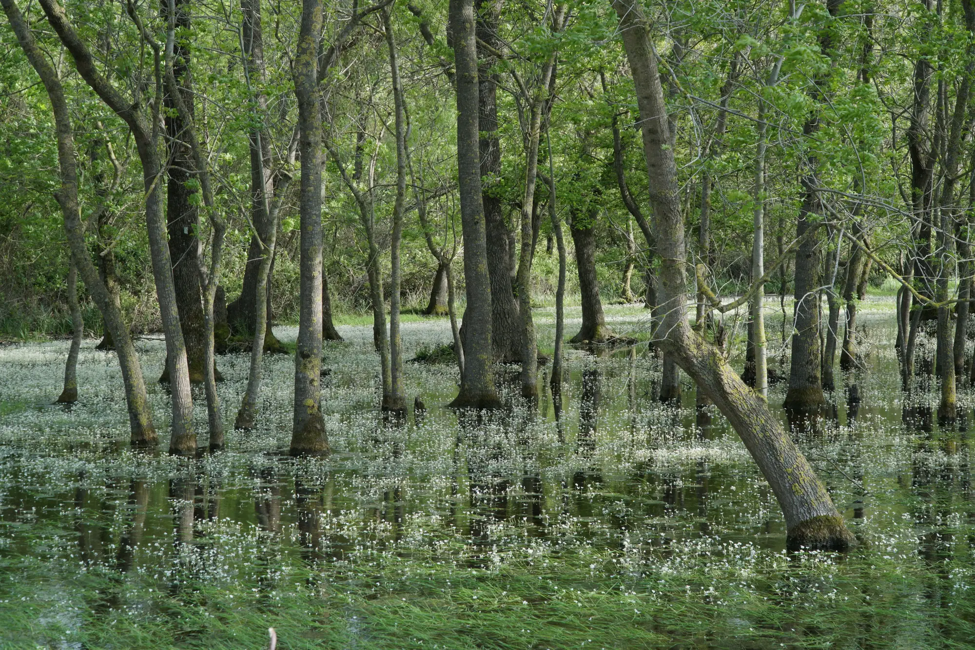 Cowardin wetland classification system explained
A plain walkthrough of the Cowardin system behind NWI codes: systems, classes, modifiers, and where palustrine and lacustrine lines fall.
October 26, 2026
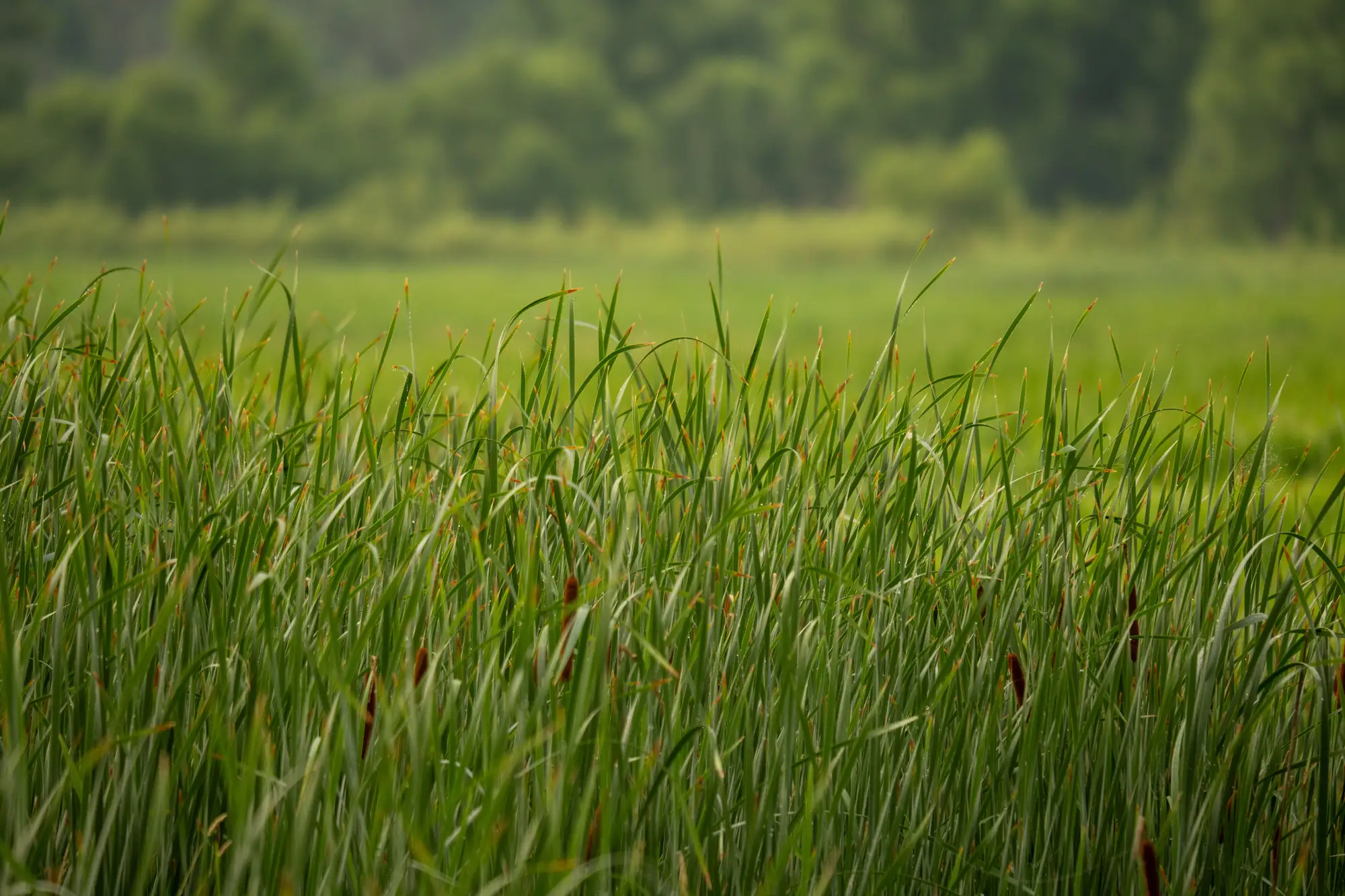 Scrub-shrub vs emergent marsh: reading the line in aerial imagery
How to separate Cowardin SS from EM in aerial and satellite imagery, and why shrub encroachment makes the vegetation class boundary move.
October 13, 2026
What counts as a jurisdictional wetland under the Clean Water ActA plain look at the current WOTUS test, the three-parameter delineation, and what an approved JD needs to hold up in a permit file.
October 8, 2026
APT vs. field indicators: what each one tells a wetland reviewerHow the Antecedent Precipitation Tool and on-site field indicators each inform a wetland determination, and where they're often confused.
October 8, 2026
How to read an NWI map before you head to the fieldA field guide to NWI map symbols and Cowardin classification codes, and why the polygon you're staring at might be older than your truck.
October 8, 2026
Hydrophytic vegetation indicators, explainedA plain-language rundown of wetland indicator status categories, OBL vs FACW vs FAC vs UPL, and how the dominance test works in the field.
October 8, 2026
What is the three-parameter approach to wetland delineation?A plain-language rundown of the three-parameter method, vegetation, soils, hydrology, and where it holds up or doesn't on a real parcel.