October 26, 2026
Scrub-shrub vs emergent marsh: reading the line in aerial imagery
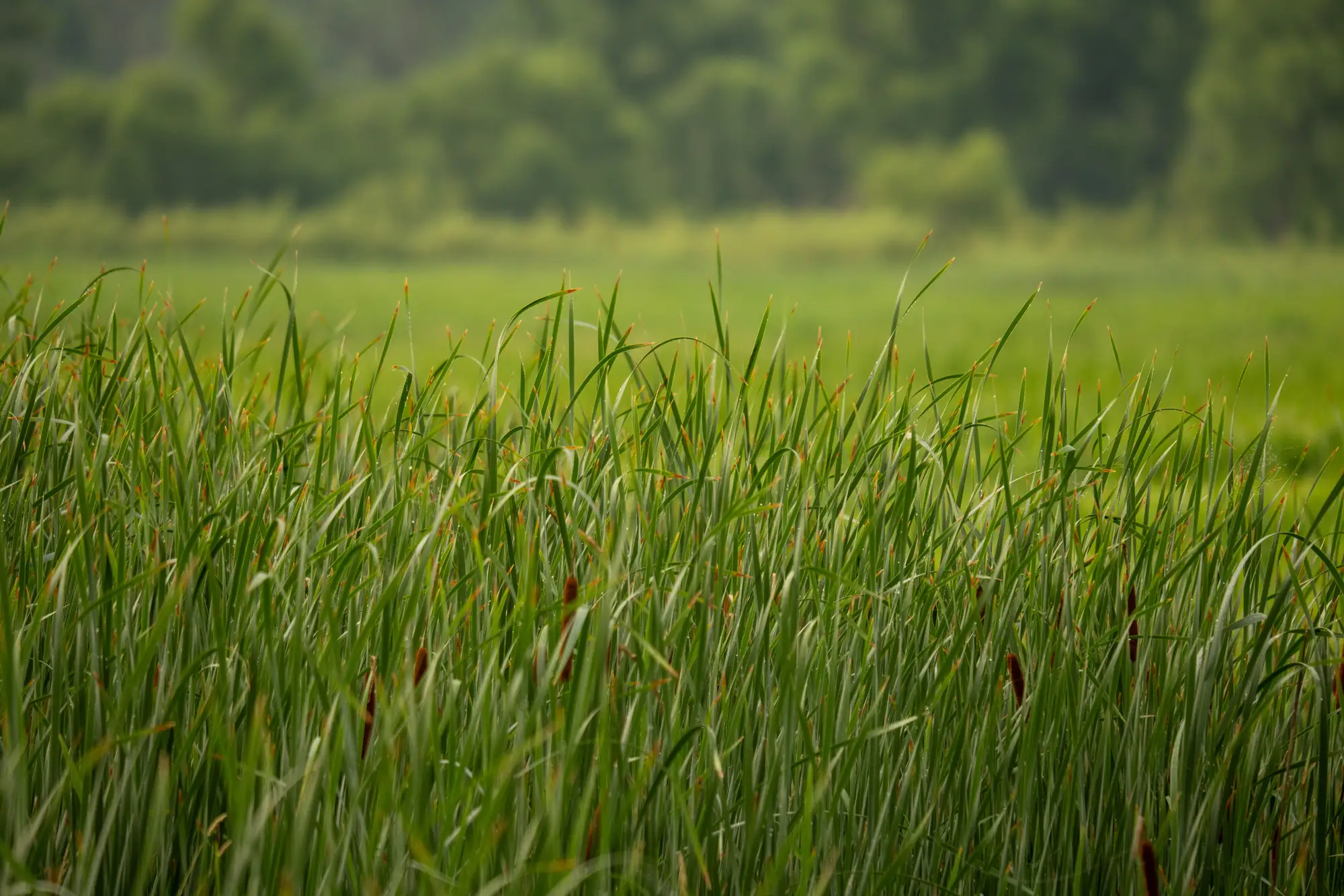
Most delineation disputes don't come from someone misreading open water. They come from the fuzzy strip between a cattail marsh and the willow thicket that used to be its edge. Cowardin calls one Emergent (EM) and the other Scrub-Shrub (SS), and the field definition sounds simple: herbaceous versus woody, under 20 feet of canopy. On the ground with a probe and a plant list, that call is usually clean. In a resampled aerial tile, it's the thing that eats an afternoon.
What the Cowardin line actually asks you to see
EM wetland is dominated by erect, rooted herbaceous hydrophytes, your cattail, bulrush, arrowhead, the stuff that dies back to the root each winter. SS is young trees and shrubs under about six meters, alder, buttonbush, willow saplings, before they graduate to forested wetland. The classification hinges on growth form and height more than on any species list, and a flat orthophoto gives you a rough read on color and texture, nothing on stem age or woodiness. A photo shows you a patch of taller, denser green along the north edge. It doesn't show you that the patch is three-year-old willow regrowth that got mowed once and is coming back thicker every season.
Why the imagery reads wrong in the transition zone
A few things stack against you in this zone specifically:
Canopy shadow on young shrubs mimics the darker, denser texture people associate with mature woody cover, so a sparse stand of first-year willow can look more "forested" than it is. Meanwhile dense, lodged emergent vegetation after a wind event can take on a rough, broken texture that reads as shrubby even though it's still herbaceous. Flight timing matters more here than almost anywhere else in a delineation. Early spring, before leaf-out, SS and EM can look nearly identical in true color. Mid-summer, senesced cattail can pick up a tan, woody-looking tone that confuses the same eye.
Multispectral helps because the plants themselves don't lie the way the visible band does. Live woody stems and live herbaceous cover have different near-infrared reflectance and different water absorption signatures even when their color looks the same to you standing in the marsh or scrolling through RGB tiles at your desk. That signal holds up when the photo alone doesn't.
Shrub encroachment is the part that changes your boundary
The reason this distinction matters for permitting work isn't academic. A marsh that's converting to scrub-shrub at its edges is a marsh whose Cowardin class, and sometimes whose functional value, is shifting underneath an old delineation. If your last field verification was two or three seasons back, the line you're working from may already be stale. Woody encroachment creeps in from the dry edge first, a few meters a year, patchy, easy to miss from the road and easy to miss in a single still image unless you're comparing it against what was there before.
A single site visit gives you a snapshot, not a trend. You need last year's vegetation class set against this year's to see which way the edge is moving. Wetland Mapping builds exactly that comparison into an annual pass, turning high-resolution multispectral imagery into a wetland type map that separates open water, emergent marsh, scrub-shrub and forested wetland by their spectral signature, then flags where the boundary looks like it's pulled back since the previous pass. It's the difference between guessing where to send a field crew and knowing which edge moved.
A quick field check before you trust the imagery
If a patch reads ambiguous on screen, a few ground truths settle it fast: stem diameter and woodiness at the base, whether there's a persistent woody structure that survived the winter, and canopy height relative to the surrounding marsh. None of that requires a full delineation walk, just a transect through the contested strip. Pair that spot check with a multi-year vegetation layer and you stop re-litigating the same forty-foot strip every renewal cycle.
The SS/EM line was never meant to be guessed from a single photo. Treat the imagery as a lead on where the class has shifted, not the final word, and the gray zone gets a lot smaller. See what a wetland type map built for your permit area would flag before the next field season starts.