October 8, 2026
What is the three-parameter approach to wetland delineation?
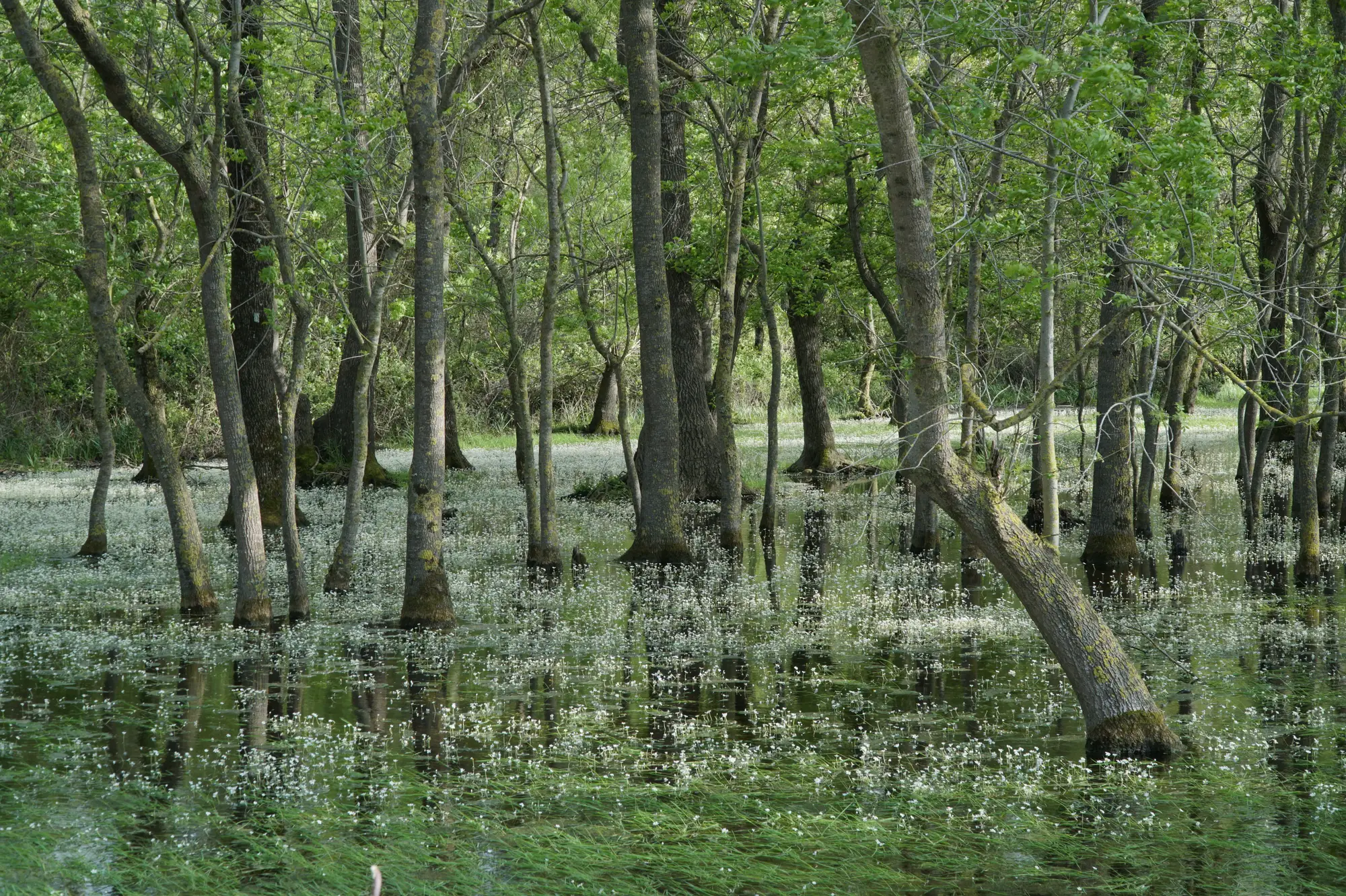
The three parameters, and why all three have to show up
The three-parameter approach is the test written into the 1987 Corps of Engineers Wetland Delineation Manual and carried forward in every regional supplement since. It asks one question of a sample point: does it show hydrophytic vegetation, hydric soil, and wetland hydrology, all three, under normal circumstances? If yes, that point is in a wetland. If any one of the three is missing, it isn't, at least not by this test.
Each leg has its own set of field indicators:
- Vegetation. The dominance test and prevalence index, run against indicator status categories like OBL, FACW, and FAC. This checks whether the plant community at that point is one adapted to grow in saturated or inundated soil, independent of how wet the ground happens to look on the day you walk it.
- Soils. Hydric soil indicators, things like gleying, redox concentrations, a low-chroma matrix, organic streaking. These show up in the soil profile from a hand auger or shovel pit, and they persist long after the water that caused them has moved on.
- Hydrology. Primary indicators, surface water, saturation in the upper 12 inches, drift lines, sediment deposits. Secondary indicators when the primary ones aren't present, like drainage patterns or the FAC-neutral test.
This is the method most state programs, the Corps, and EPA lean on because it's documented, repeatable, and defensible in a permit file. A delineation report built on three independently checked parameters holds up better under review than one built on a single wet-looking patch of ground.
Soils hold still, vegetation and hydrology don't
Of the three, soils are the stable leg. Barring fill, excavation, or some other disturbance, a hydric soil indicator found this year will still be there in five years. Vegetation and hydrology are different. They track the weather, the water table, upstream management, and plain succession.
A string of wet years pushes the hydrology signal out past where it sat during the last delineation. A drought pulls the vegetation signature back toward the upland side. Beaver activity, a new culvert, a changed irrigation schedule, any of these can shift the hydrology leg without anyone filing paperwork about it.
That's the part of the three-factor method that sends a delineation officer back out to a boundary that was approved two or three permit cycles ago, just to confirm it still reads the way the file says it does. The soil pits from the original report are still good evidence. The question is whether the vegetation and hydrology still line up with them, or whether the wetland has quietly pulled in since the last site visit.
Figuring out which boundaries drifted enough to warrant a re-walk, out of a full permit area or a bank monitoring portfolio, is the part that eats time. Wetland Mapping takes one annual pass of high-resolution imagery and runs the NIR water absorption and vegetation signature against last year's extent, so you get a layer flagging where the edge looks like it's shrunk before anyone puts boots on the ground to check it.
A quick note on the common shorthand
You'll see this called the "three-factor method" or the "hydrology, soils, vegetation wetland test" in older reports and training materials. Same method, different label. The order those three words get listed in doesn't matter; what matters is that a determination documents all three independently rather than inferring one from the other two.
One thing worth saying plainly: this method confirms a wetland exists at a point in time. It doesn't tell you, on its own, whether the boundary you drew two field seasons ago still matches the ground today. That's a separate question, and for a mitigation bank monitoring record or a permit area you're tracking year over year, it's usually the more useful one to answer first.
If you're carrying more than a handful of boundaries and want a yearly read on which ones moved before you plan the field season, that's the gap Wetland Mapping is built to close.