October 13, 2026
What counts as a jurisdictional wetland under the Clean Water Act
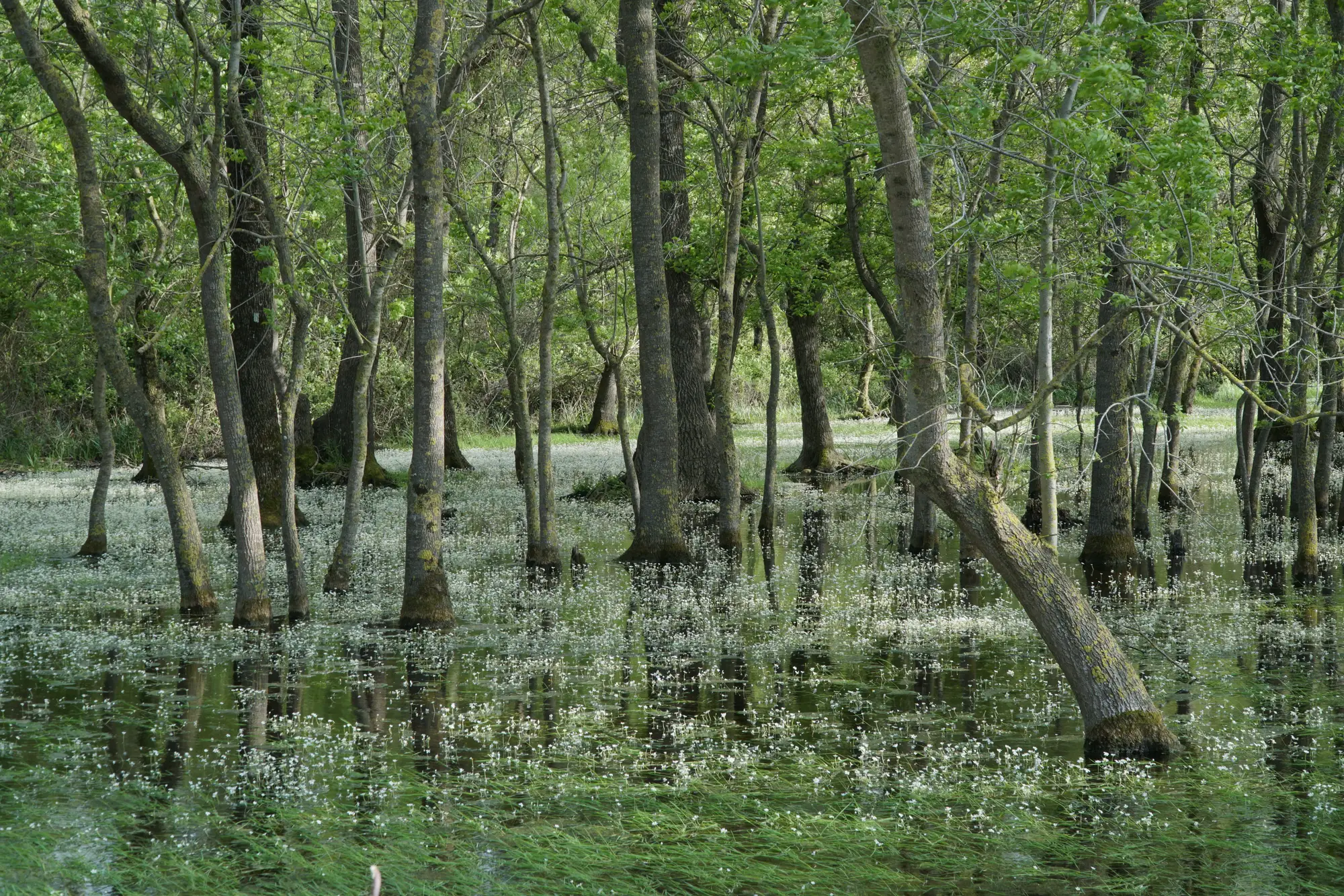
If you've sat across a conference table from an applicant's consultant arguing their delineation and yours don't match, you already know the honest answer to "what counts": it depends which test you're applying, and that test changed in 2023.
The WOTUS line after Sackett
Before Sackett v. EPA, a lot of field staff worked off the significant nexus standard. A wetland didn't need to touch a river to be jurisdictional. If it affected the chemical, physical, or biological integrity of a downstream water, that was enough to bring it in under the Clean Water Act.
Sackett threw out the significant-nexus standard for adjacent wetlands. The test that replaced it asks two things. First, is the nearby water itself a "relatively permanent" water: one with a continuous surface connection to a traditional navigable water or interstate water, carrying flow through most of the year. Second, does the wetland in question share that kind of continuous surface connection with it, to the point where the two are practically indistinguishable.
That's a narrower gate than significant nexus. Isolated wetlands, prairie potholes, many vernal pools and playas, and wetlands separated from a jurisdictional water by a berm, a road grade, or even a stretch of upland now fall outside federal jurisdiction more often than they used to. Some of those still answer to state wetland programs, so don't let "not WOTUS" become shorthand for "not regulated" in your own files. Check what your state's program picks up where the federal line stops.
The three-parameter test still does the ground-truthing
Jurisdiction answers the legal question. Delineation answers the "is this a wetland" question, and that part of the job hasn't moved. The Corps still runs the three-parameter approach from the 1987 manual and your region's supplement: hydrophytic vegetation, hydric soils, and wetland hydrology all have to show up together at a sample point for it to count.
This is where field conditions and permit timing start fighting each other. A scrub-shrub wetland sampled in a dry August can read drier than its hydrology indicators would suggest in a normal year. An emergent marsh that got a wet spring can look like it's grown past its mapped boundary, when really the water table's just up. An approved JD is supposed to reflect typical conditions, not the week you happened to walk it, and a reviewer who's seen the site in a different year is going to ask why your sample points don't match the file from two seasons back.
That's the part of the job that eats the most calendar time: figuring out whether a boundary moved for real, or just moved because this was a wet year, before you ever get a crew back out there to confirm it. A desk review that flags which parcels look different from last year's delineation, before you commit a field day to them, means the trip you do take is to a site that needs eyes on the ground. That's the gap Wetland Mapping is built to close: an annual pass that sorts open water, emergent marsh, scrub-shrub and forested wetland by type and flags where the edge looks like it's pulled back since the last pass, so the field trip goes to the parcel that changed.
What this means for your JD file
An approved JD under the post-Sackett test needs to show the surface water connection explicitly, not just note that a wetland is "near" a stream. If the connection depends on a culvert, a ditch, or a seasonal channel, document whether that feature carries flow continuously or just after storm events, because that distinction is now doing a lot of the legal work. And if a permit applicant's consultant hands you a delineation that leans on significant nexus language, that's worth a second look. The standard they're citing isn't the one your JD gets reviewed against anymore.
If your backlog is mostly re-checks on sites you delineated before 2023, give the boundary a look before you schedule the crew.