November 2, 2026
Field notes: the August the canopy quit two weeks early
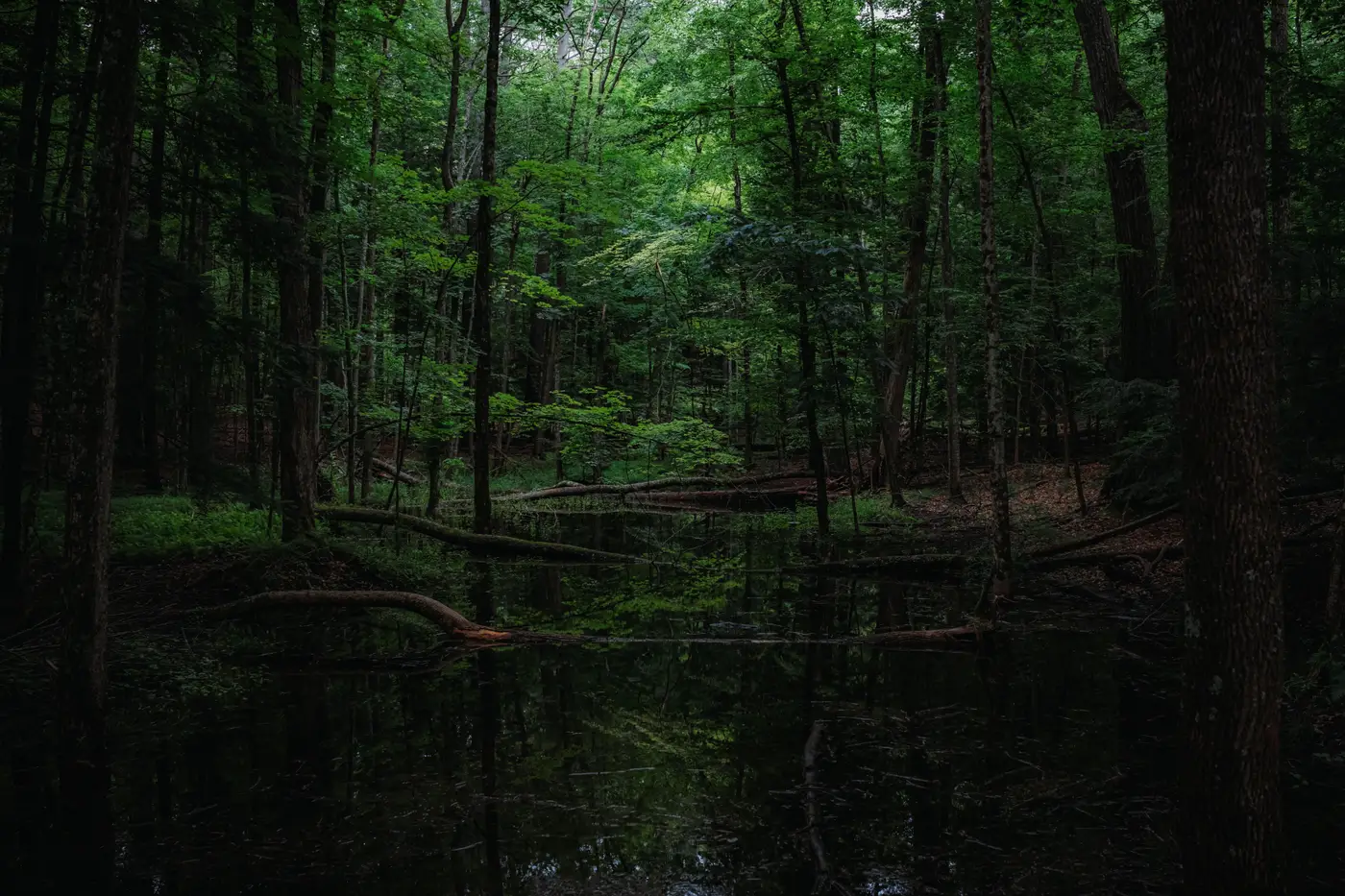
The canopy over the red maple swamp off County Road 9 usually holds its color into the third week of September. This year, by August 19th, the overstory had already gone the dull bronze-green of a stand giving up on the season. I know the date because I wrote it in the truck before I even got my boots laced, the kind of note you jot down because something feels off before you can say exactly why.
The leaves were drying in place, curling at the margins while still attached, the crown going from dense and glossy to thin and matte over about ten days. Walk under a healthy forested wetland canopy in August and the light comes through green and filtered. Walk under this one and it was already coming through the way it does in October, patchy and bright, shadows sharper than they should've been.
The understory told the same story faster than the overstory did. The skunk cabbage had folded weeks ahead of schedule. The sphagnum mat that's normally saturated enough to leave a boot print filling with water had a crust on it. None of this shows up in a soil pit the way a redox feature does. You can dig a hole in late August at a site that's drying out and still hit the gray matrix and the mottles that tell you this is wetland soil, because soil morphology doesn't erase itself in three weeks of dry weather. But the vegetation and hydrology indicators, the ones that are supposed to corroborate what the soil is telling you, were already pointing somewhere else.
This is the gap that makes forested wetland delineation harder than marsh or scrub-shrub work. A canopy hides its own stress from the ground. You can stand in an emergent marsh and see the whole hydroperiod laid out in front of you, standing water here, saturated muck there, upland grass where the boundary sits. Under a closed canopy you get none of that. You get what the understory happens to be doing on the day you walk it, and if that day falls after an early dry-down, that reading can make the boundary look like it moved when the hydrology has only had a dry week.
The piece I keep coming back to is that the early drying wasn't visible from the road. The outer edge of the stand still looked fine from County Road 9. You had to be under the canopy, in the stand, at the right week, to catch it. Most of us aren't walking every forested wetland in our permit area in the third week of August just to check. We walk them when there's a complaint, an application, a mitigation bank monitoring deadline. By the time we get there, the signal that would've told us "this one dried out early, go look" is gone, overwritten by whatever the site is doing by the time we show up.
That's the piece I'd want flagged before the field trip rather than discovered during it. A yearly pass of imagery that catches the canopy's water signature shifting early, before the understory finishes catching up, would tell you which stands in your permit area are worth a closer look this season and which ones are running on schedule. That's the premise behind Wetland Mapping: an annual read on the NIR and vegetation signature across your wetland types, including the forested canopy that hides so much from the ground, with a flag on the ones that look like they're drying ahead of where they sat last year.
I don't know yet whether this particular stand bounced back with the September rain or whether this is the start of a slower shift in that drainage. That's next year's field note. But I'd rather walk in already knowing which stands to watch than find out the hard way, boots in dry duff, wondering if I missed the window.
If you've got forested wetland in your permit area, it might be worth seeing what an early read on canopy drying looks like for your own sites.