November 2, 2026
What a mitigation bank monitoring report actually needs to show
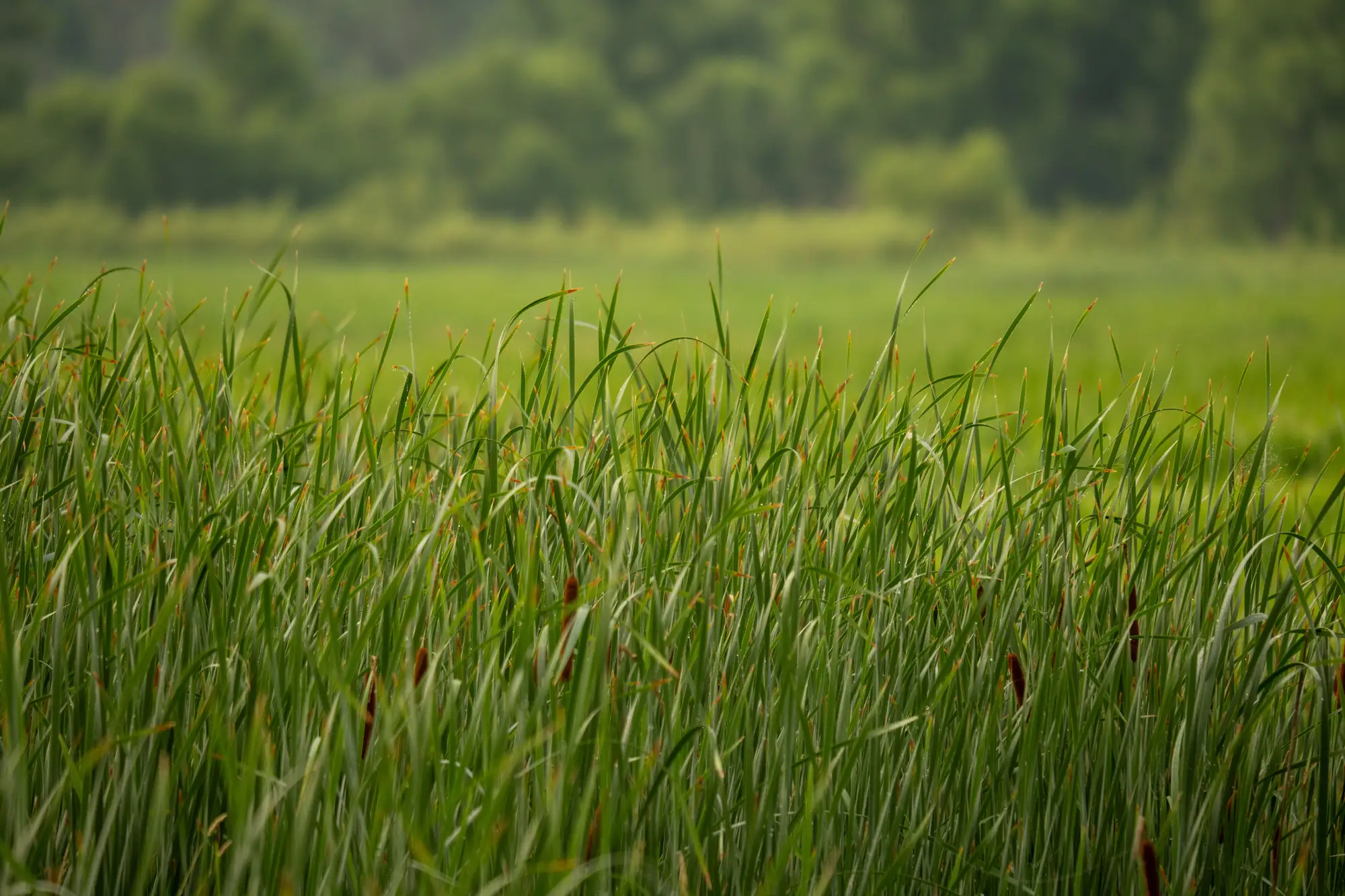
Mitigation bank monitoring reports are the paperwork a bank sponsor files every year to prove the credits they sold are still backed by a working wetland. The agency signed off on a set of performance standards when the banking instrument was approved. The annual report is where you show the site still meets them, and that it's on track against the full monitoring schedule, not just this one season.
What the report actually has to cover
Most banking instruments ask for the same backbone, even when the specific targets vary bank to bank:
- Hydrology: water levels or saturation duration checked against the performance standard, usually tied to a reference hydroperiod or a gauge record.
- Vegetation: percent cover by wetland indicator status, dominance by the target community (emergent marsh, scrub-shrub, forested), and invasive cover against a cap.
- Wetland acreage and type: a current read on where open water, emergent, scrub-shrub and forested wetland sit this year, set against the as-built map or last year's submission.
- Photo points and sample plots, read on the same schedule every year so a reviewer can track change plot by plot.
- A narrative: what's holding, what's drifting off target, and any corrective action already taken.
The acreage and type breakdown is usually the part that eats the most time, because confirming the polygon hasn't shrunk means either walking the whole bank boundary again or paying for a fresh delineation pass just to be sure.
Why credit release rides on this
Credit release milestones are written against performance standards, not a calendar date. A bank might release a tranche once vegetation cover and hydrology both clear their targets at year three, then hold the rest until the forested community reaches a canopy threshold years later. If the monitoring report shows a standard slipping, invasive cover past the cap, hydrology running drier than the reference year, the agency can pause the next release until the sponsor corrects it. So the report is the document that triggers the next tranche of credits, or holds it back.
What reviewers actually flag
In practice, the fastest way a report gets kicked back for revision is a vegetation table that doesn't line up with the photo points, or a wetland boundary that's moved without any explanation in the narrative. A reviewer comparing this year's acreage to last year's expects to see the same wetland types, in roughly the same place, unless the narrative accounts for the change. A boundary that's quietly shrunk since last year, with nothing said about it, reads as a missed drawdown or a maintenance problem nobody caught in the field.
A same-year wetland type map and drying flag built from an annual pass of imagery closes that gap before the report goes out, so a shrinking boundary shows up on the desk before a reviewer finds it first.
What to keep on file beyond the annual submission
Most instruments also call for the monitoring schedule itself, so a reviewer can see how many years remain and which standards tie to which year. Keep the as-built survey or planting records too, since every later year gets measured against that baseline. And hang on to any prior agency correspondence on corrective action. A standard flagged and fixed in year four shouldn't surprise anyone reading the report in year six.
A clean monitoring report doesn't need to be long. It needs the acreage, the vegetation data, the hydrology record and the photo points to tell the same story year over year, with a narrative that explains anything that doesn't. If you're putting one of these together this fall, it's worth seeing what Wetland Mapping can pull together for your bank boundary before the field crew heads out.